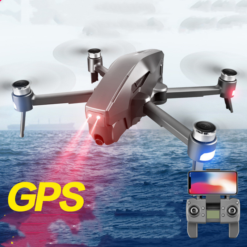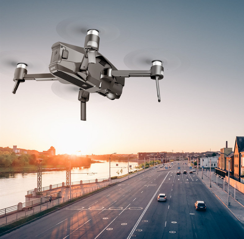


Professional GPS foldable drone
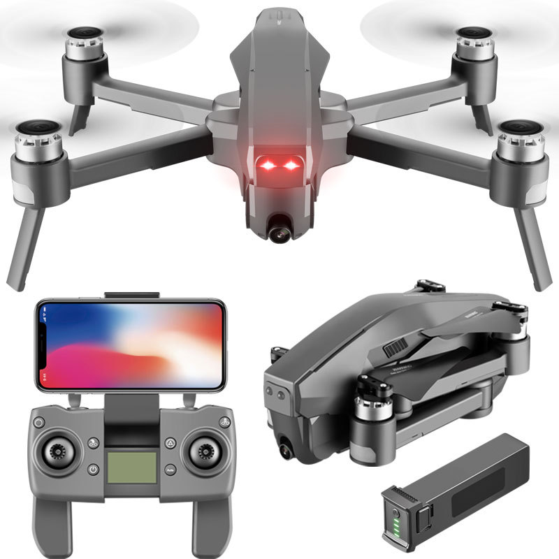
Item Number: M1 Product Name: Four-axis GPS Brushless Folding Aircraft
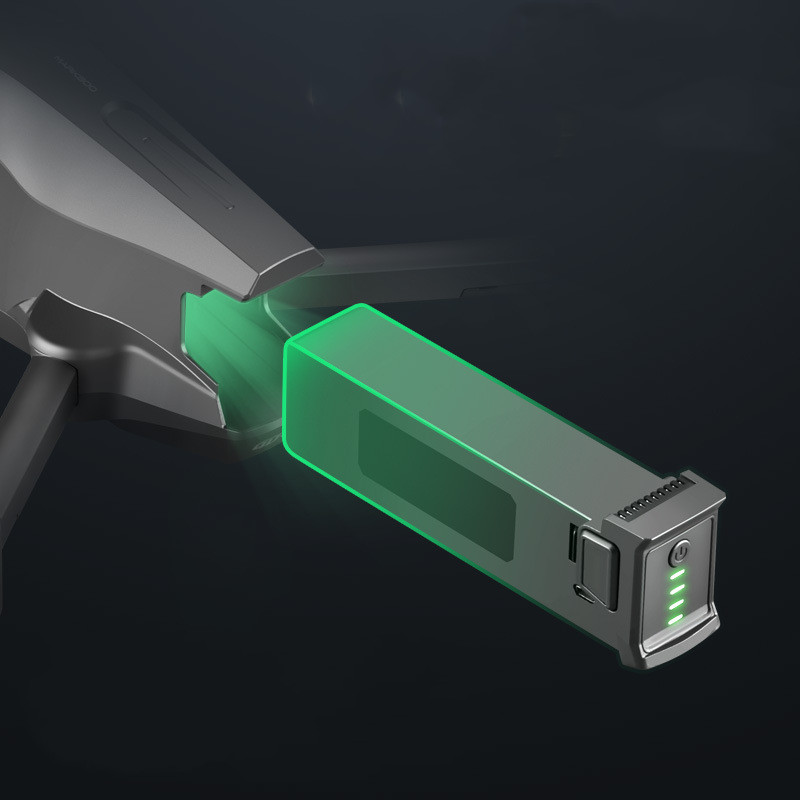
Packing: Color box packaging Body battery capacity: 11.1V [Peer basic 7.4V] 4000 mAh battery weight 200 grams
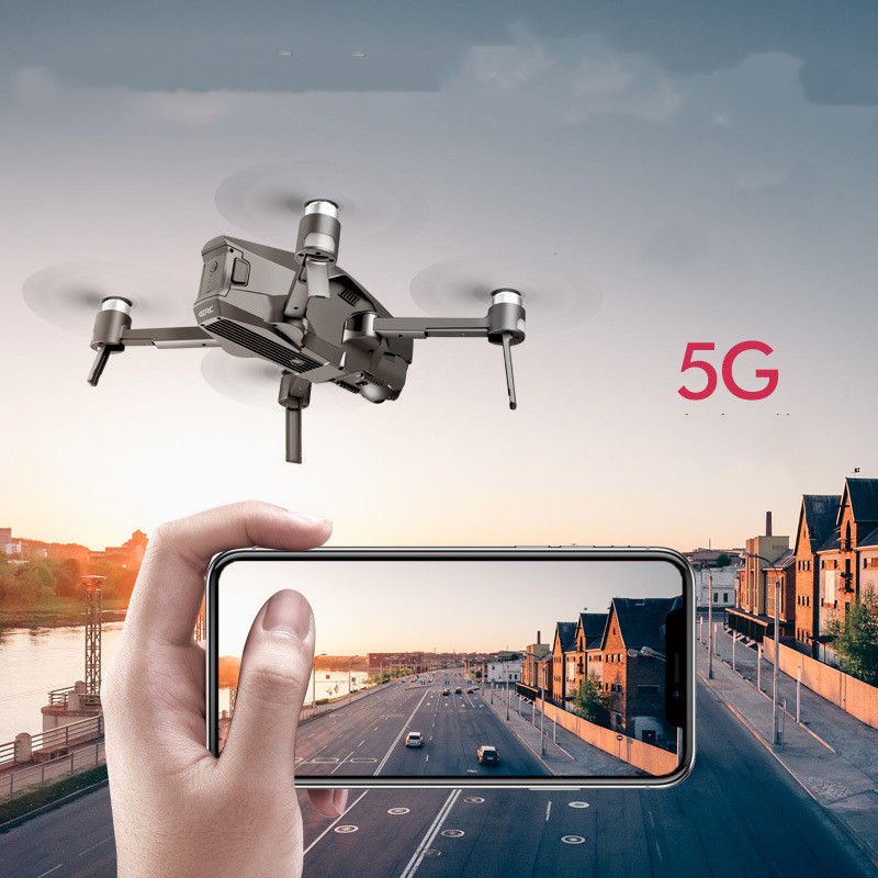
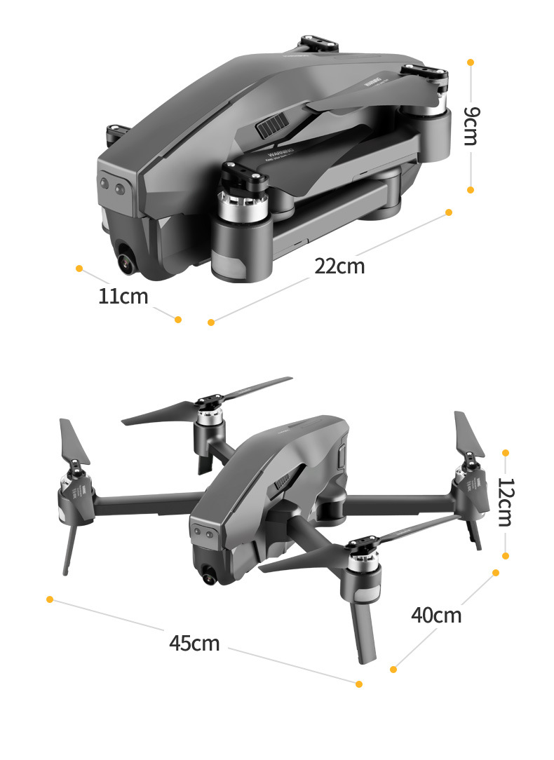
Product unfolded size: 45-40-12 CM remote control rechargeable 5.8G signal
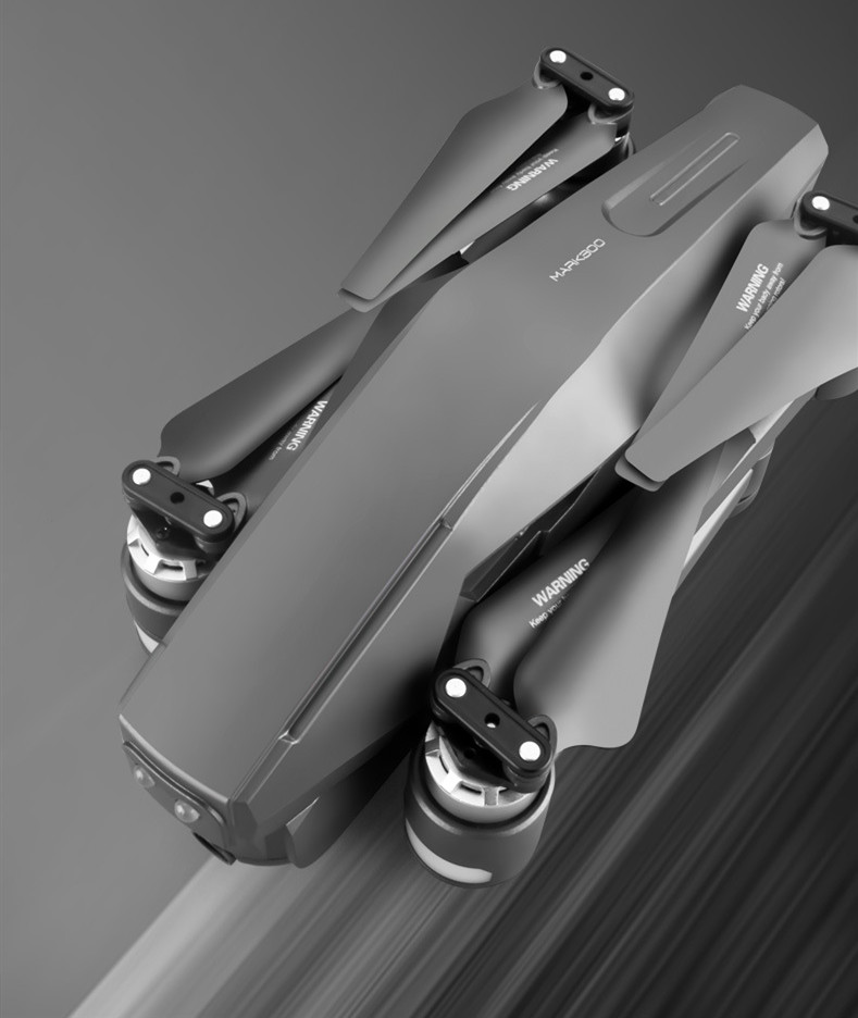
Product folded size: 22-11-9CM battery charging time: about 240 minutes
Flight time: about 28 minutes weight 1.2 kg
Aircraft range: remote control 1600 meters, mobile phone image transmission 600 meters
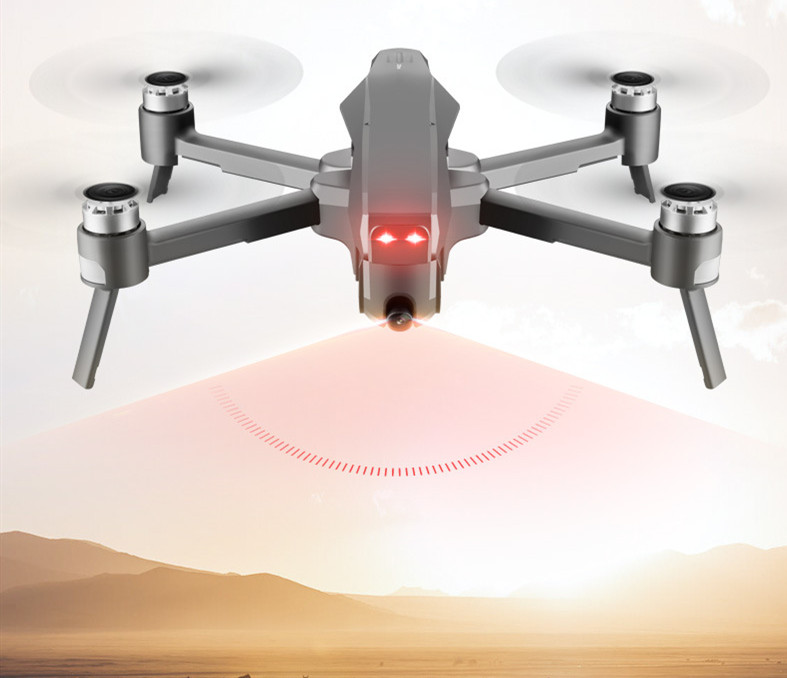
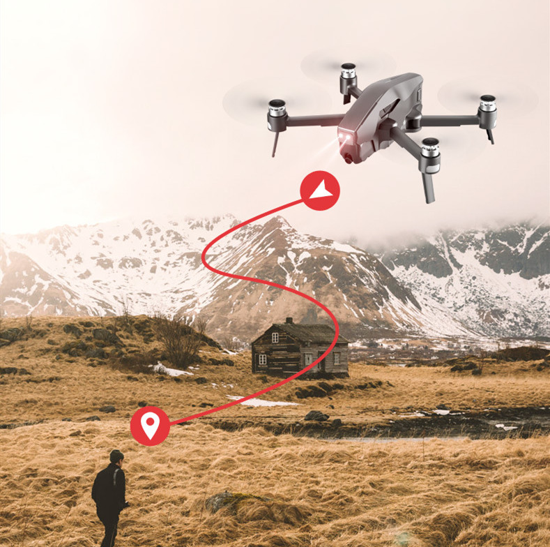
Product selling points: 1. GPS1 key to return to the take-off point, return to home with low power, and return to home without signal.
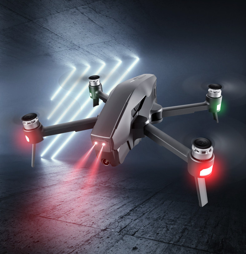
2. ①GPS intelligent follow; ②Image follow: Recognize gps signal to automatically follow the flight.
3. Gesture photography recognition: within 1-3m from the aircraft, face the camera to make a photo gesture/camera gesture.
4. Multi-point flight planning for the route: the aircraft will fly autonomously according to the set route, and the player will shoot.
5. Fixed-point surround: find the center point of the surround, and then use the joystick to move the desired surround radius.
6. Aircraft retrieval function: Tap the GPS signal icon 3 times in a row to open the map interface. The map displays the distance, latitude and longitude of the aircraft.
7. Picture and video sharing: You can share photos in single or multiple selections, and videos can only be shared individually at a time.
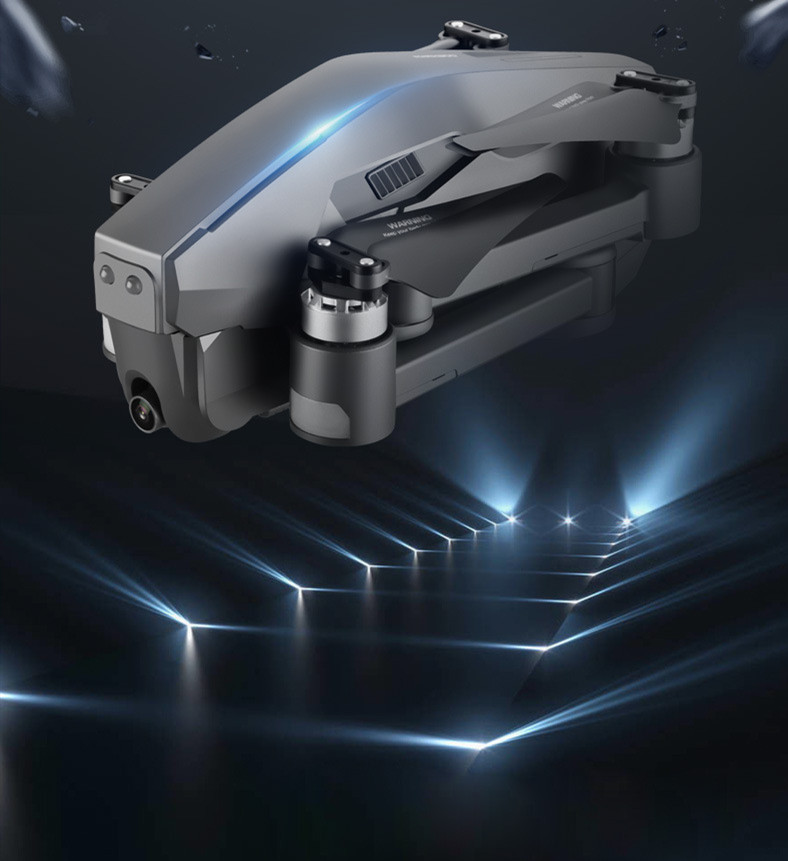
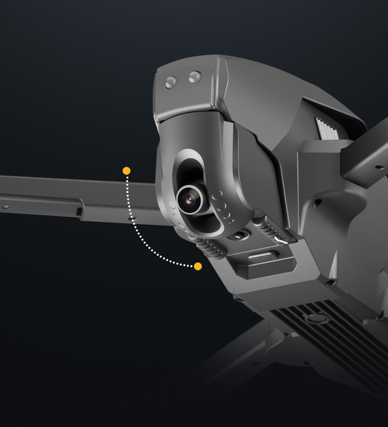
8. HD wide-angle 90° adjustable camera. Detachable camera
9. 11.1V pluggable smart lithium battery.
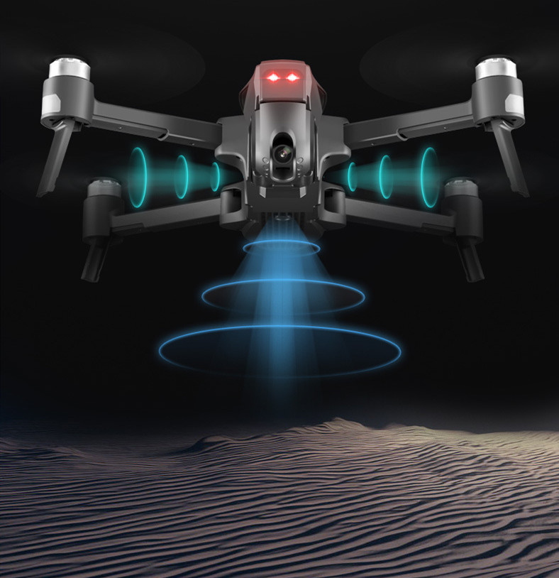
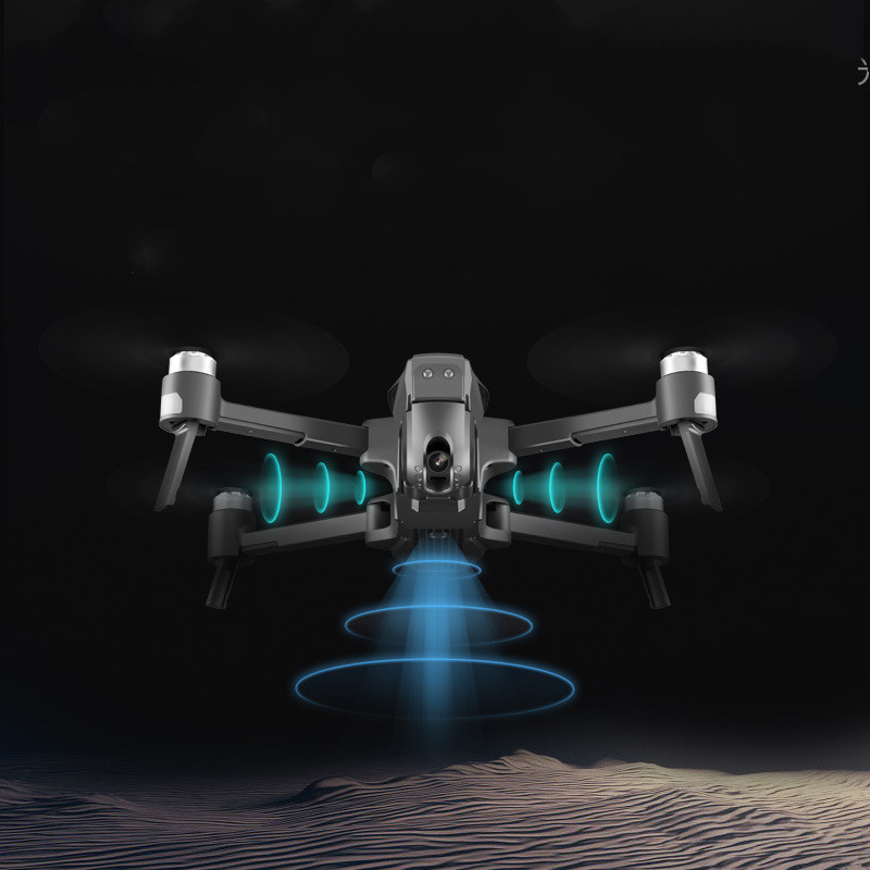
The main functions: 1, GPS1 key back to the takeoff point, low power return, no signal return. With optical flow
2, 1 GPS intelligent follow; 2 intelligent follow: recognize gps and perform automatic follow flight.
3, gesture shooting recognition: face camera to make photo gestures / camera gestures.
4, route multi-point planning flight: the aircraft autonomous flight according to the set route, the player shoots.
5. Fixed point surround: Find the surrounding center point and then move the desired radius by the joystick.
6, the aircraft recovery function: continuously click the GPS signal icon 3 times, open the map interface, the map shows the distance of the aircraft, latitude and longitude position.
7, picture and video sharing: you can single or multiple choices to share photos, the video can only be shared at a time.
8, 4k HD wide-angle 90 ° adjustable camera. Detachable camera (photographing resolution 4096*3072)
9, 11.1V plug-in smart lithium battery.
10, dual camera can switch shooting vertical shooting
2. Battery: 11.1 volts / 4000 mAh with smart lithium battery (included). Remote control 3.7 volts 350 mAh Charging
3. Charging time: Charge with USB for about 240 minutes
4. Flight time: About 25 minutes.
5. Control distance: 600 meters.
6. Accessories: 4 blades, 2 USB charging cables, 1 screwdriver